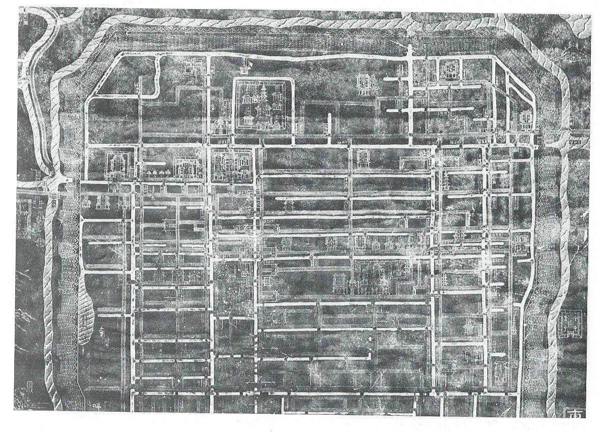
Certainly the Chinese local maps that we have from the thirteenth century on are entirely pictorial. Also from the Confucian Temple at Suchow is a plan of the city itself that was drawn in 1193 and carved on stone in 1229. We also have an early plan of Hangchow, originally published in a book of about 1274 but now known only from a re-issue of about 1867 in which the map, printed from eight woodblocks, derives from an eighteenth-century manuscript copy. Both these city plans are clear picture-maps. They show in outline plan the streets and streams within the city walls, but other features are shown pictorially: walls, towers, gates, trees, the mountains outside the towns, and, on the Hangchow map, ships in the harbour and the buildings of the imperial palace. The Hangchow map has the pictures of individual houses only in the suburbs, but the Suchow map shows a few pagodas and courtyard houses in the town itself.